In short
Cetățile Ponorului (the Ponor Fortresses) is a karst complex in Apuseni Natural Park with three huge sinkholes and a cave portal 74 m high. You reach it on foot from the Padiș hut, on an 11.2 km blue-dot circuit of about six and a half hours.
Distance from the hotel: from the Padiș hut (Padiș Plateau: about 97 km from the hotel)
Key facts
- StartPadiș hut (Padiș Tourist Complex)
- Trailloop, blue dot (4 PA), 11.2 km
- Durationabout 6 h 30 min
- Elevation+625 m / −625 m, high point 1,292 m
- Difficultydifficult; metal ladders and cables; not recommended in winter
- Portal74 m high (Sinkhole I)
- Distance from the hotelfrom the Padiș hut (Padiș Plateau: about 97 km from the hotel)
- Coordinates46.56270, 22.70120
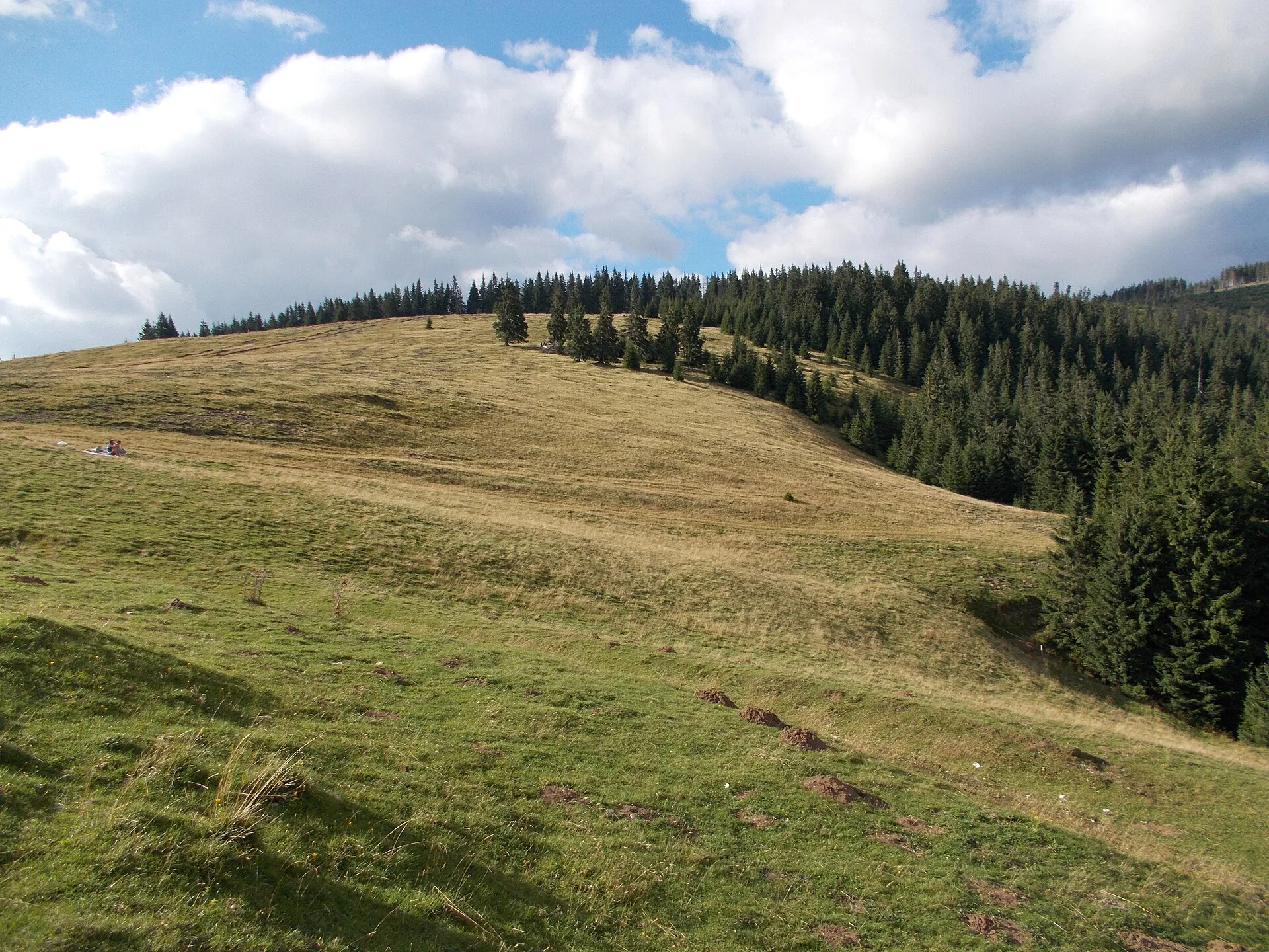
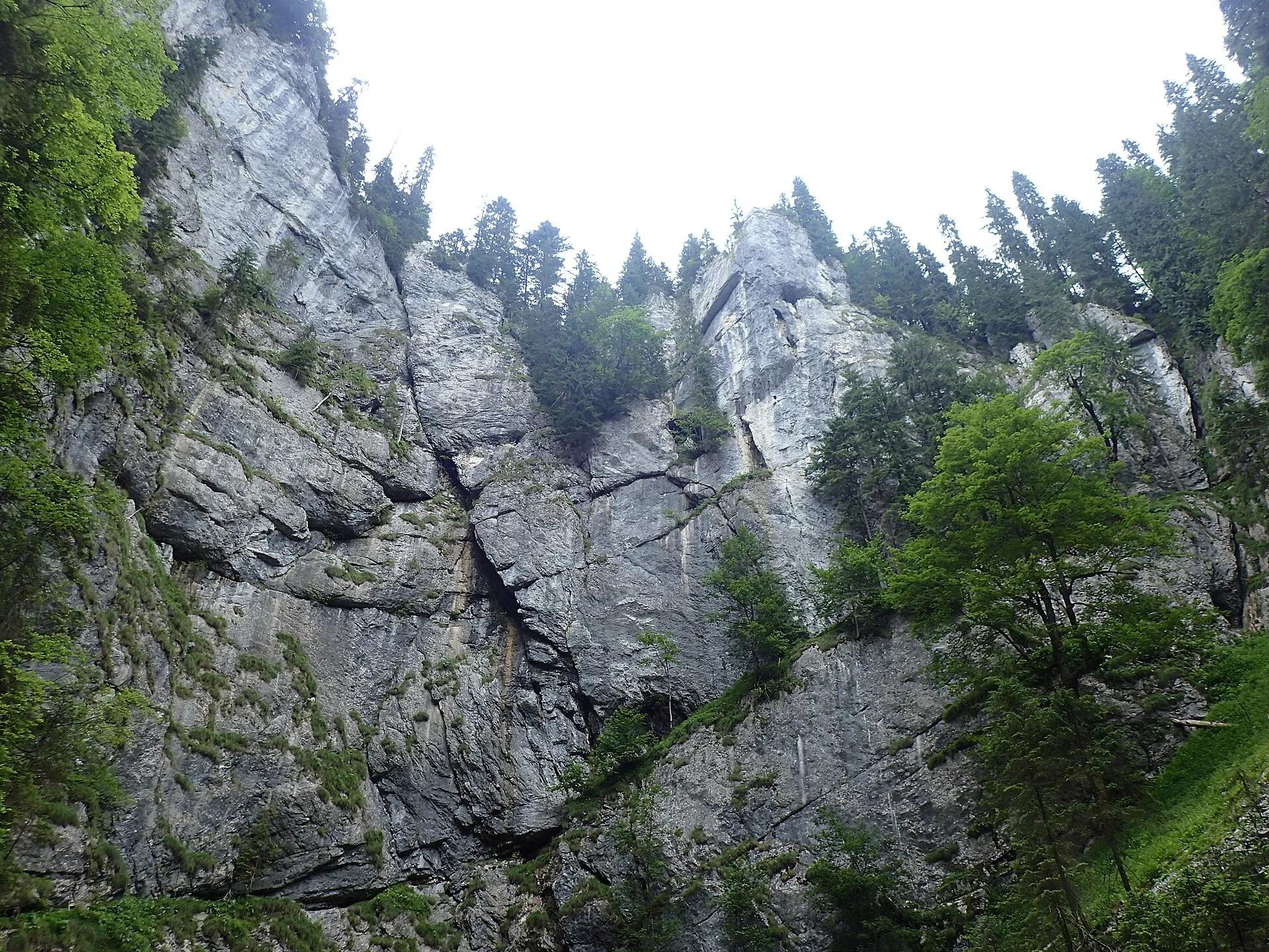
Cetățile Ponorului ("the Ponor Fortresses") is a karst complex in Apuseni Natural Park, made up of three enormous sinkholes and a cave with a 74 m high portal, through which a river disappears under the mountain. You can only get there on foot, from the Padiș hut, on an 11.2 km blue-dot circuit of about six and a half hours. It is one of the most spectacular trails in the Apuseni and also one of the most demanding.
What Cetățile Ponorului is
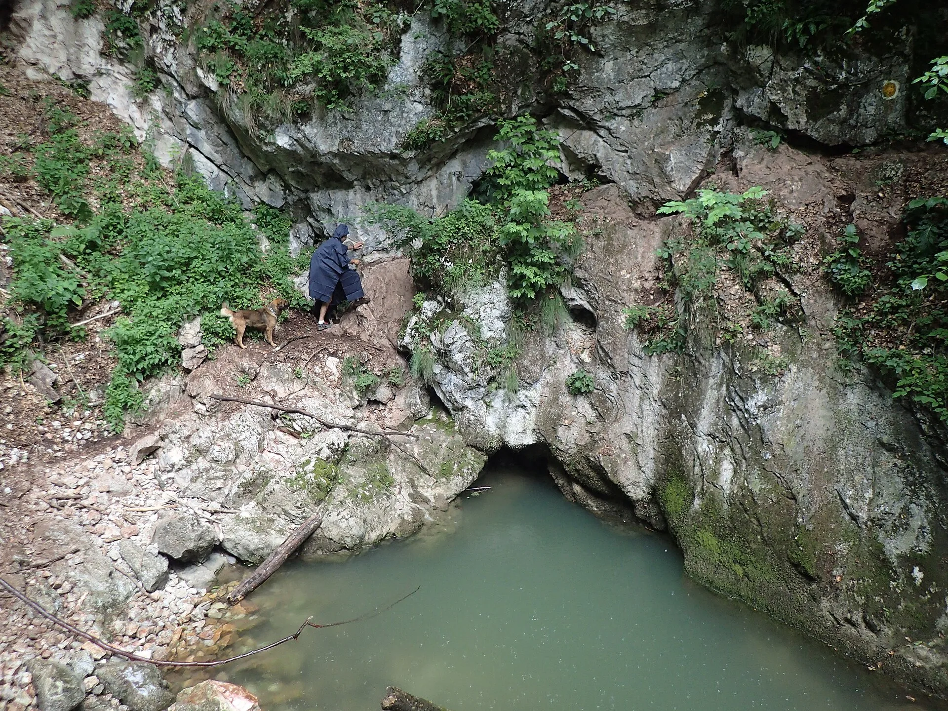
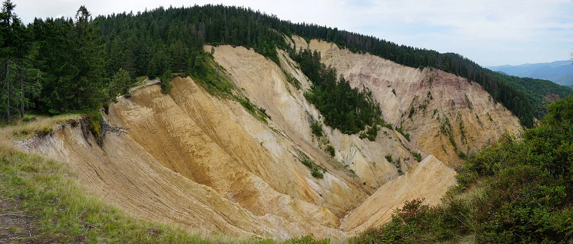
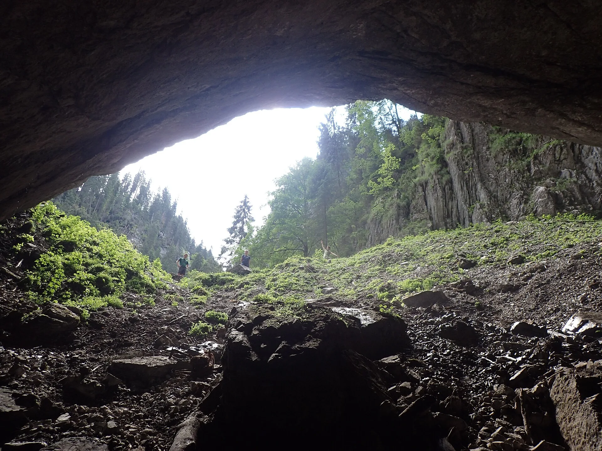
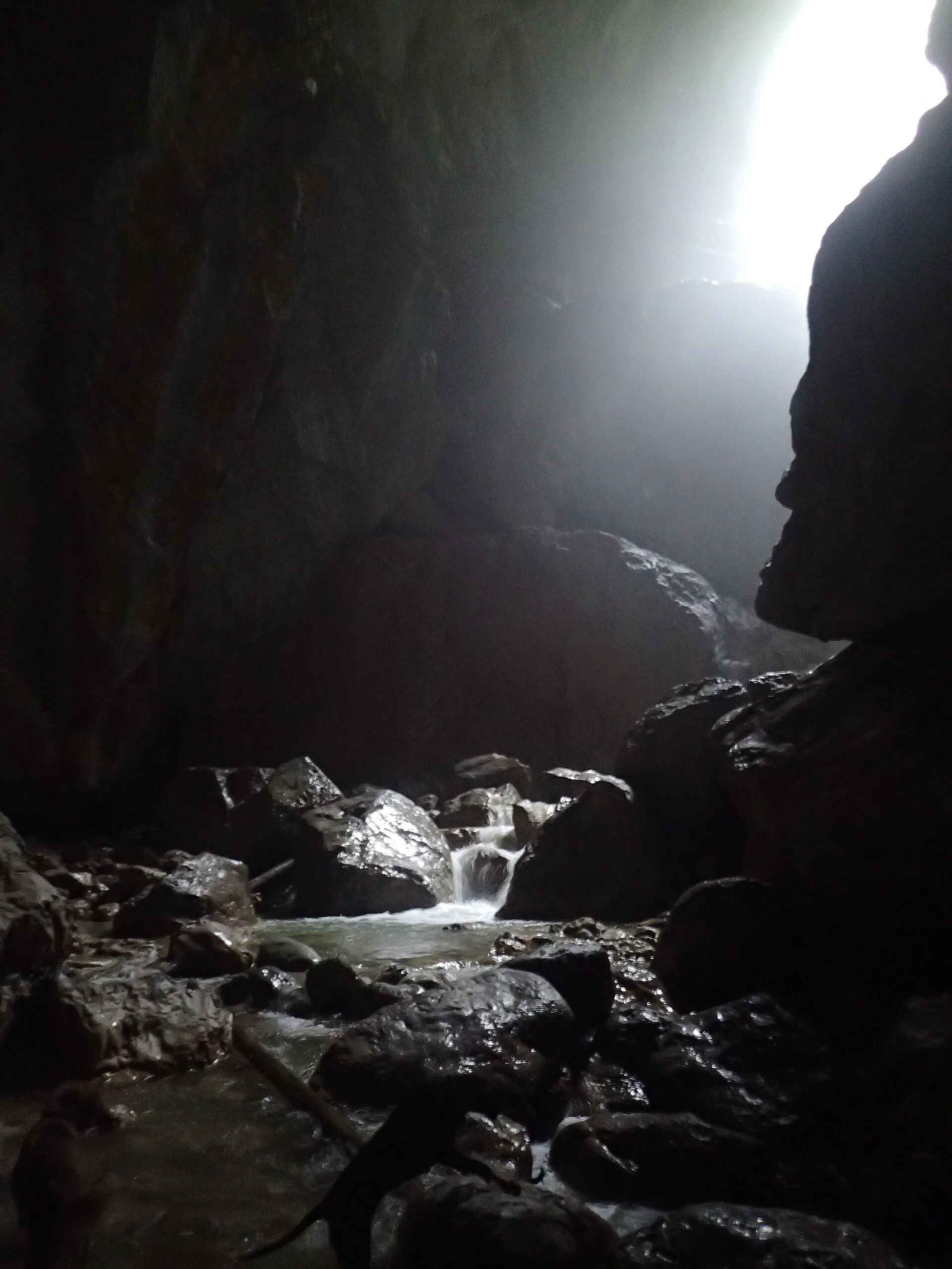
The name comes from the limestone walls that ring the sinkholes like castle ramparts. In Sinkhole I opens the cave portal, 74 m high – presented by Munții Noștri as the largest in Europe and by Welcome to Romania as the highest in Romania. A river flows into it, forming an active gallery about 2 km long. Sinkhole II has vertical walls of around 100 m, and Sinkhole III is the largest. On the ridge between Sinkholes I and III there are four viewpoints built in the 19th century by the explorer Gyula Czárán. The Cetățile Ponorului reserve covers 14.9 ha and is part of Apuseni Natural Park.
The trail from Padiș
The Cetățile Ponorului circuit (4 PA, blue dot) is an approved trail starting at the Padiș Tourist Complex:
- Padiș – Poiana Rotundă: about an hour, partly shared with other waymarks.
- Poiana Ponor: a side path leads to the Ponor karst spring.
- Descent into Sinkhole I: on metal ladders and with cables, along the left slope of the Cetăți Valley, down to the portal.
- The ridge climb: steep, between Sinkholes I and III, past the viewpoints.
- The return: through forest and along a logging road to Poiana La Grajduri (Glăvoi), then back to Padiș.
Technical data: 11.2 km, about 6 h 30 min, 625 m up and 625 m down, high point 1,292 m. Welcome to Romania gives 12 km and 5 hours; the difference depends on variant and pace.
Inside the cave: how far you can go
The first part under the portal is easily visited from the bottom of the sinkhole. Further in, the active gallery is for well-equipped cavers only. The underground river cannot be followed upstream because of a deep lake, and entering the gallery depends on the water level. Sinkhole II can be seen from the portal only when water is low. Do not enter the galleries without equipment and a guide.
Difficulty and safety
- The trail is rated difficult and not recommended in winter.
- Cables and ladders can be tricky on wet rock; postpone in rain.
- There is no reliable signal everywhere; tell someone your route and expected return time.
- Bring water and food for the whole day, plus a headlamp.
When to go
From June to September, in settled weather. After heavy rain the water in the sinkhole can rise and the cable sections become slippery.
Getting to the trailhead
The Padiș hut is reached from Oradea via Beiuș, Sudrigiu and Pietroasa, or from Cluj via Huedin and Răchițele, with the last kilometres on forest road. From Remeți, via Stâna de Vale and Pietroasa, allow over two hours' driving to Padiș.
With children
Only with older children with mountain experience, who can walk 6–7 hours and are comfortable on exposed passages.
Staying nearby
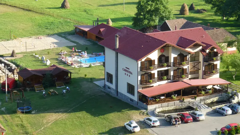
Hotel Carpathia Apuseni in Remeți is over two hours' drive from Padiș, so it is not the ideal base if Cetățile Ponorului is all you want to see. For a holiday where the Cetăți is one day and the rest is spent in Iad Valley, at Stâna de Vale or at the Pădurea Craiului caves, Carpathia is a comfortable base; leave early on your Padiș day.
Photos
On the map
Frequently asked questions
How long is the hike to Cetățile Ponorului?
The blue-dot circuit from the Padiș hut is 11.2 km and takes about six and a half hours, with 625 m of ascent. Other descriptions give 12 km and about 5 hours; plan a full day with breaks.
Is the Cetățile Ponorului trail difficult?
Munții Noștri rates it difficult: the descent into Sinkhole I uses metal ladders and cables, and the climb along the ridge between the sinkholes is steep. It is not recommended in winter.
Can you enter the cave at Cetățile Ponorului?
The first part beneath the portal is easily reached from the bottom of the sinkhole. Beyond that, the active gallery of about 2 km is only for equipped cavers, and access depends heavily on water level.
Where does the trail start?
At the Padiș hut on the Padiș Plateau. The loop passes Poiana Rotundă and Poiana Ponor and returns via Poiana La Grajduri (Glăvoi).
Is it suitable for children?
Only for older children used to long hikes and exposed passages. For little ones, a walk on the meadows around Padiș is a better choice.
Sources
- Circuitul Cetăților Ponorului (4 PA) — Munții Noștri (accessed 12 November 2026)
- Padiș – Cetățile Ponorului — Welcome to Romania (accessed 12 November 2026)
- Apuseni Natural Park — Wikipedia (accessed 12 November 2026)
- Vara în Padiș: acces, descriere și obiective turistice — Alba24, 2023 (accessed 12 November 2026)
- Cetățile Ponorului — OpenStreetMap (Nominatim) (accessed 12 November 2026)