In short
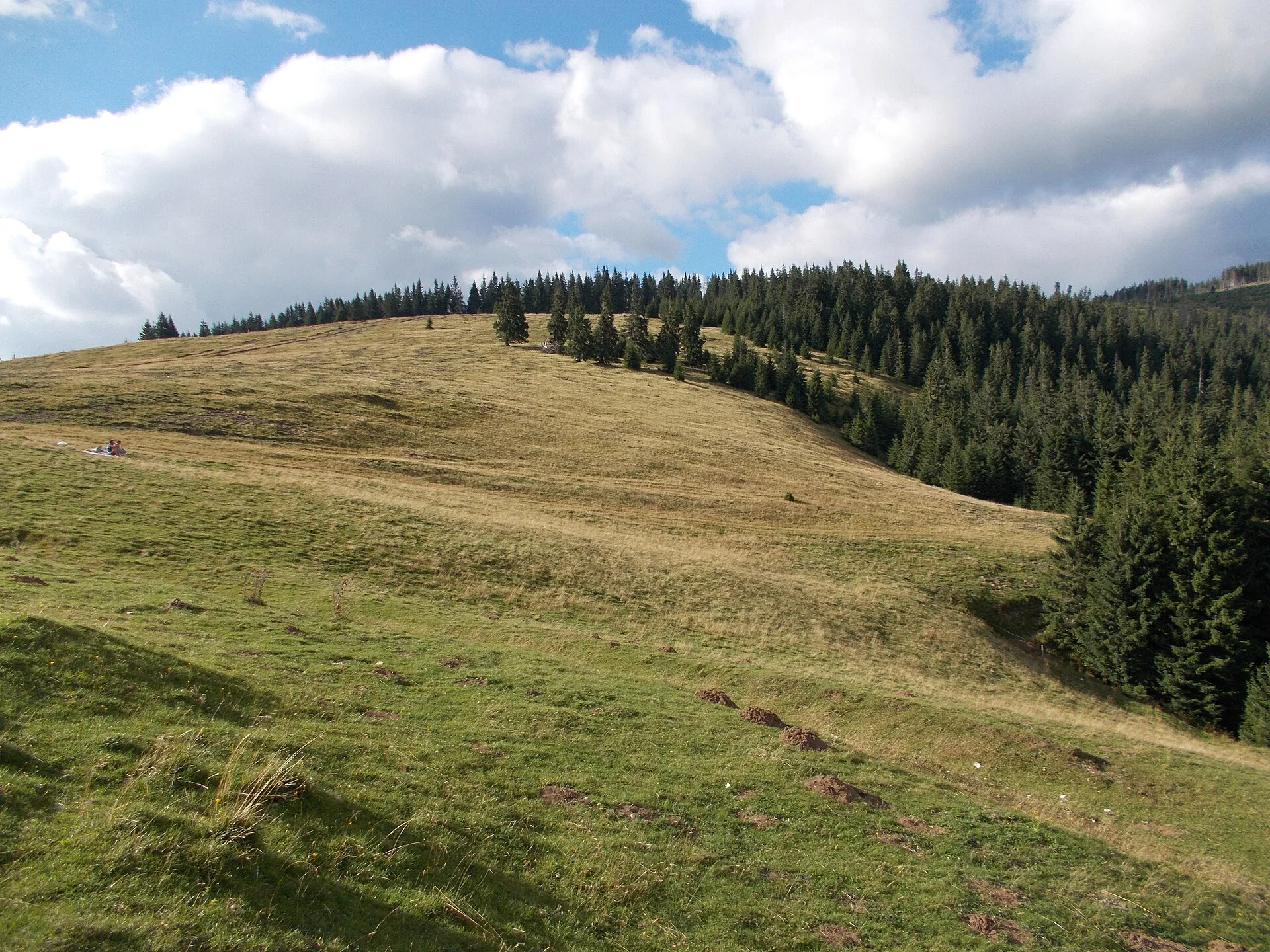
Padiș is a karst plateau in the Bihor Mountains, inside Apuseni Natural Park, at around 1,200 m. Trails to Cetățile Ponorului, Galbena Spring and the Lost World (Lumea Pierdută) start at the Padiș hut and each takes a full day.
Distance from the hotel: 97 km by road (about 124 min by car)
Key facts
- Altitudethe Padiș flat averages about 1,225 m (Alba24)
- Protected areaApuseni Natural Park (75,784 ha)
- Road accessfrom Oradea via Beiuș – Sudrigiu – Pietroasa; from Huedin via Răchițele (forest road)
- Main trailsCetățile Ponorului (11.2 km, about 6.5 h), Galbena circuit (17.5 km, 9.5–10 h)
- From the hotelabout 97 km, over 2 hours (OSRM, via Stâna de Vale and Pietroasa)
- Distance from the hotel97 km by road (about 124 min by car)
- Coordinates46.59600, 22.73400
Padiș is a karst plateau in the Bihor Mountains, in the heart of Apuseni Natural Park, with wide meadows at around 1,200 m surrounded by forest. It is not a place for a quick stop: from the Padiș hut, trails lead to Cetățile Ponorului, Galbena Spring and the Lost World, each a full day out. From Remeți it is over two hours by car.
What Padiș is
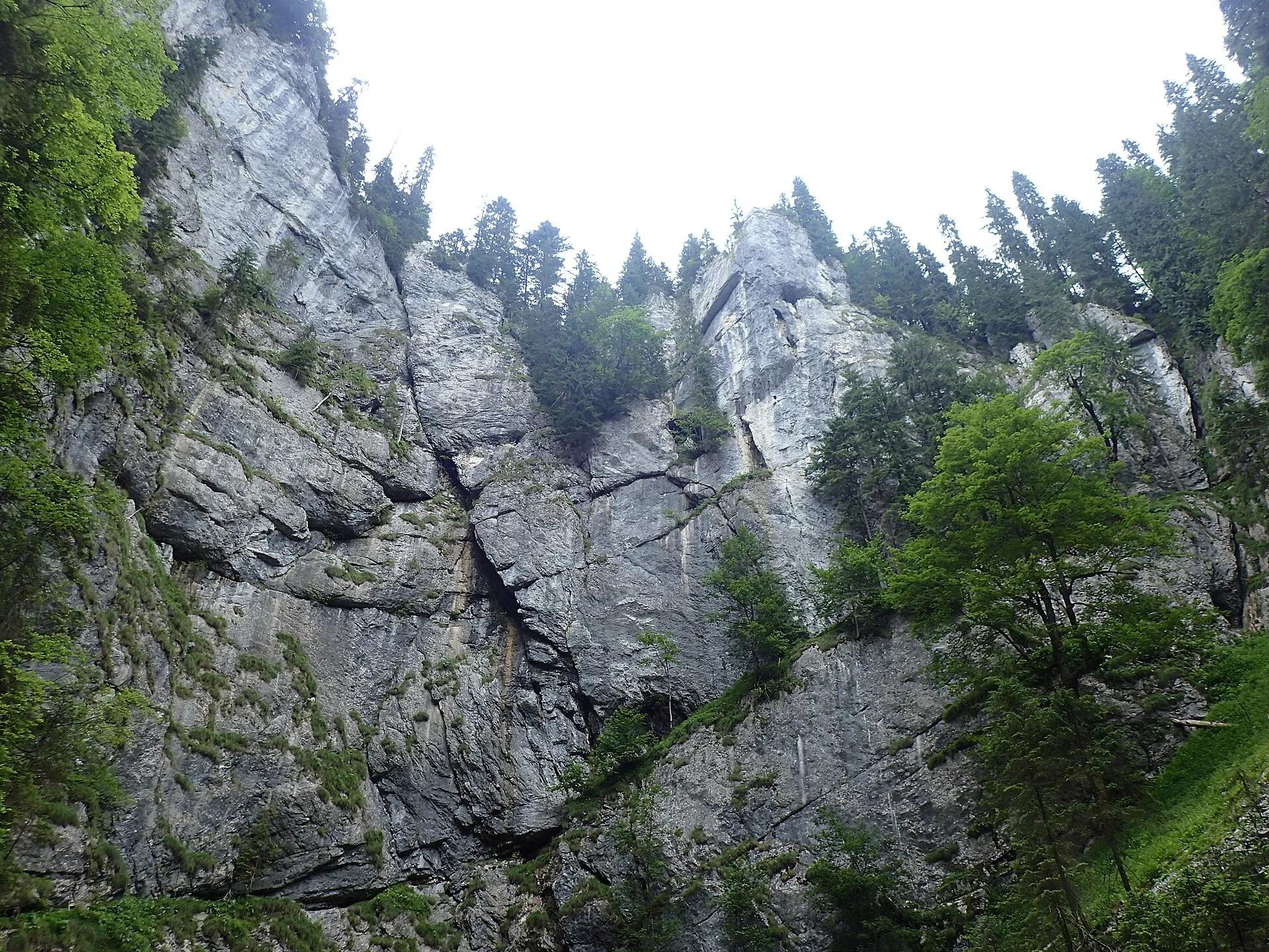
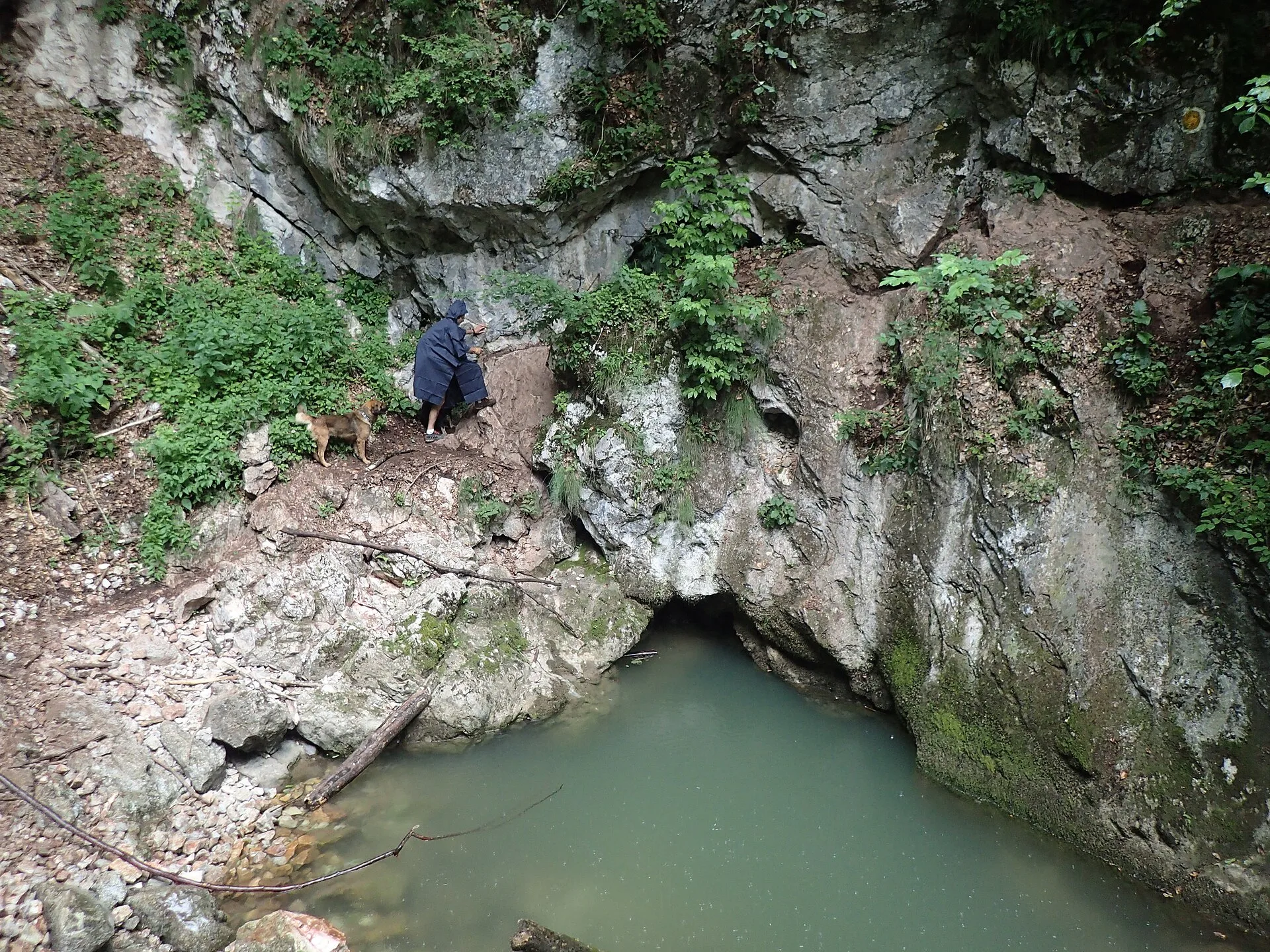
Alba24 gives an average altitude of about 1,225 m for the Padiș flat. The plateau lies in Apuseni Natural Park, a 75,784 ha protected area across Alba, Bihor and Cluj counties, established by Law no. 5/2000. The Padiș Plateau is also a karst reserve within the park. Under the meadows, water has carved a whole network of caves, potholes and karst springs; that is why streams disappear and reappear in unexpected places.
Getting there
- From Oradea (and from Remeți via Beiuș): through Beiuș, Sudrigiu and Pietroasa. Alba24 gives about 100 km from Oradea. From Hotel Carpathia Apuseni, via Stâna de Vale, Budureasa and Pietroasa, it is about 97 km and over two hours according to OSRM.
- From Cluj: through Huedin and Răchițele; the last 31 km or so are forest road.
- From Arieșeni / Vârtop: on foot, on marked trails.
Forest roads can deteriorate after rain and in winter. Check their condition beforehand and do not rely on mobile signal up on the plateau.
What to do at Padiș
Cetățile Ponorului ("Ponor Fortresses"). A karst complex with three huge sinkholes and a cave portal 74 m high. The blue-dot circuit is 11.2 km and takes about six and a half hours, with metal ladders and cables. See the dedicated guide.
Galbena Spring and Galbena Gorge. On the Galbena circuit (yellow dot, 17.5 km, 9.5–10 hours) you reach the spring where the water that flowed beneath Cetățile Ponorului resurfaces. The trail has cable-assisted passages and is not recommended in rain.
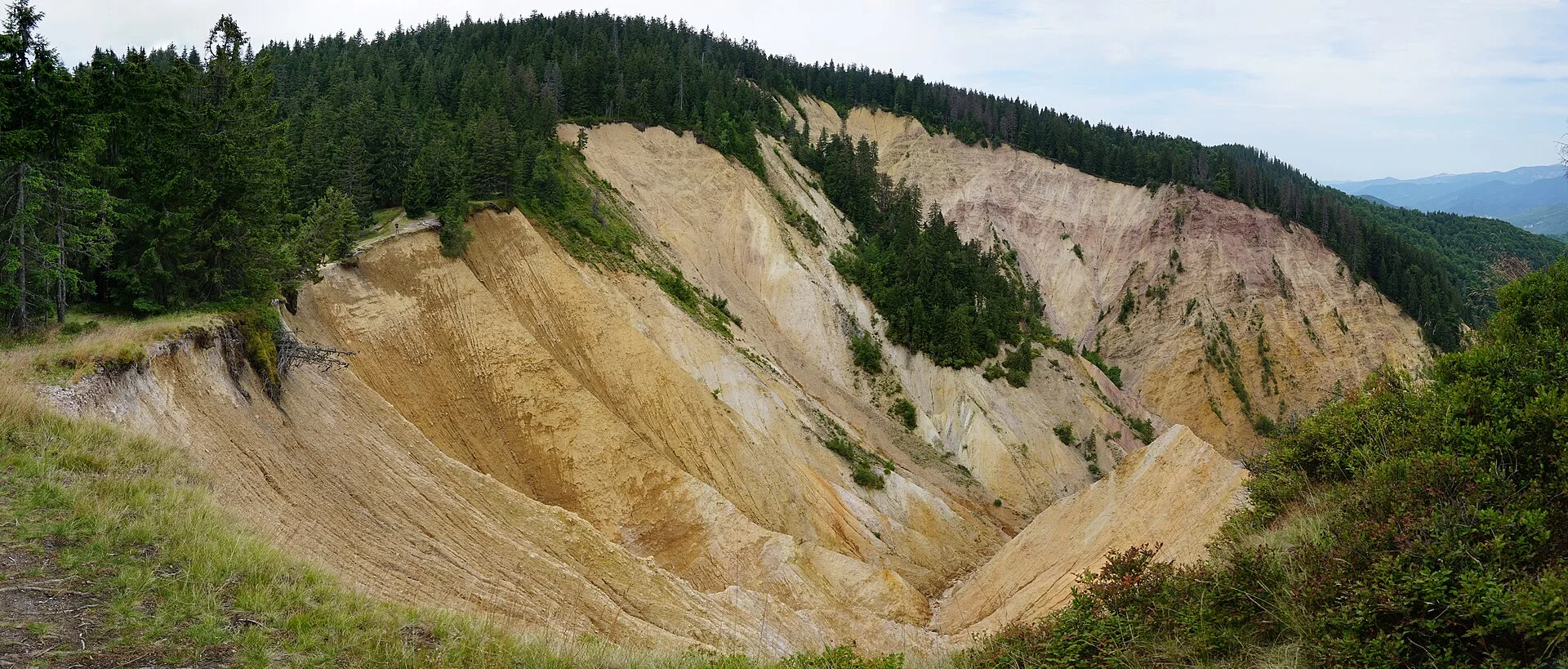
Groapa Ruginoasă. A reddish erosion gully over 600 m across, on the Vârtop edge of the park; easier to reach from Arieșeni.
The Lost World (Lumea Pierdută) and Poiana Ponor. Linked to the trails above.
When to go
June to September is the season for Padiș. Munții Noștri lists both the Cetățile Ponorului and Galbena circuits as not recommended in winter. Mountain weather changes quickly even in summer, so start early and allow for a long trail taking longer.
What to bring
Sturdy boots, water, food for the whole day, a rain jacket, an offline map. On cable sections you need your hands free, so use a backpack, not bags.
With children
The meadows around the hut and short walks suit children. The full trails (Cetăți, Galbena) are rated difficult and only suitable for older children used to the mountains.
Staying nearby
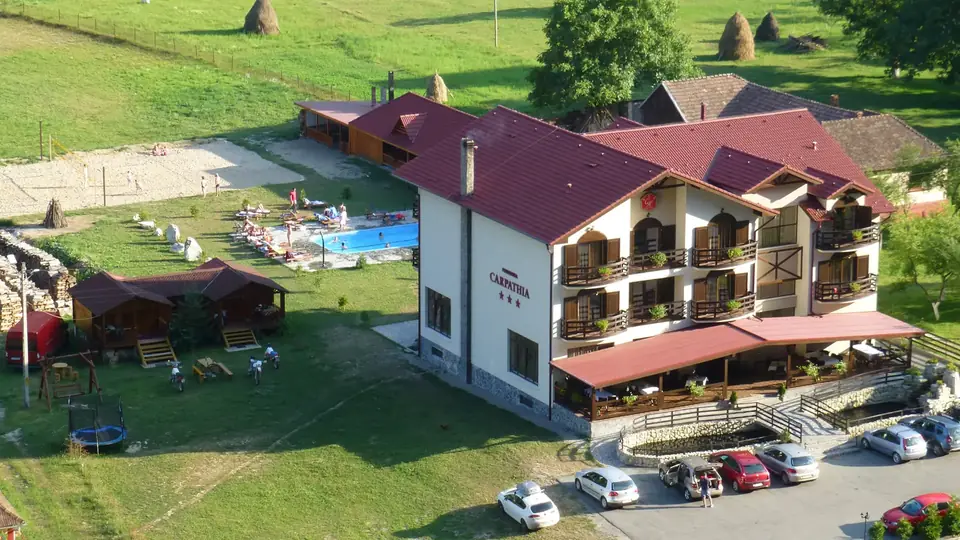
Hotel Carpathia Apuseni in Remeți is over two hours from Padiș. If you want to hike several trails on the plateau, accommodation at Padiș itself or around Pietroasa is more practical. If Padiș is just one day of your Apuseni holiday, Carpathia remains a good base for the other days: Iad Valley, Stâna de Vale and the Leșu and Drăgan lakes.
Photos
On the map
Frequently asked questions
Where is Padiș?
In the Bihor Mountains, inside Apuseni Natural Park, where Bihor, Alba and Cluj counties meet. The Padiș hut, the trailhead, is in Budureasa commune, Bihor County.
How do you drive to Padiș?
From Oradea via Beiuș, Sudrigiu and Pietroasa (Alba24 gives about 100 km). From Cluj via Huedin and Răchițele, with the last 31 km or so on a forest road.
What are the main trails at Padiș?
The Cetățile Ponorului circuit (blue dot, 11.2 km, about 6.5 hours, difficult) and the Galbena circuit with Galbena Spring (yellow dot, 17.5 km, 9.5–10 hours). Both start at the Padiș hut and are not recommended in winter.
Can you visit Padiș as a day trip from Remeți?
You can, but it is a long day: over two hours' drive each way plus a 6–10 hour hike. More realistically, leave very early and pick one trail.
Sources
- Vara în Padiș: acces, descriere și obiective turistice — Alba24, 21.07.2023 (accessed 12 November 2026)
- Apuseni Natural Park — Wikipedia (accessed 12 November 2026)
- Circuitul Cetăților Ponorului (4 PA) — Munții Noștri (accessed 12 November 2026)
- Circuitul Văii Galbena (5 PG) — Munții Noștri (accessed 12 November 2026)
- Cabana Padiș — OpenStreetMap (Nominatim) (accessed 12 November 2026)
- Traseu calculat cu OSRM pe date OpenStreetMap (hotel – Stâna de Vale – Pietroasa – Padiș) (accessed 12 November 2026)